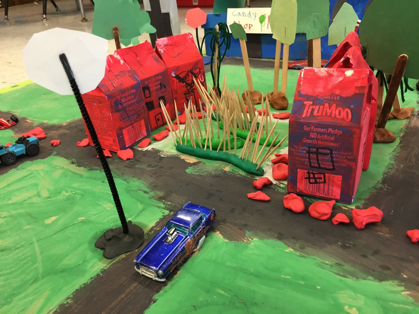
We finally finished it and it looks amazing! The students have been working hard to make a 3-D map of the area around the Boston Common and State House where we went for our field trip. We read "Make Way for Ducklings" by Robert McCloskey and made sure we included all of the important places from the book on our map, including Beacon Street, the State House, Louisburg Square, the Charles River, Mt. Vernon Street, Charles Street, and the Public Garden where the Swan Boats are. We talked a lot about other important places in Boston and included them on our map, including hospitals, restaurants, a library and museum, a bank, hotels and apartments, a movie theater, grocery store, and even a barber shop! The students worked hard to add details such as traffic lights, stop signs, the carousel, a playground, street lights, weeping willow trees, the statues of the ducklings, and so much more! They felt very proud to show Mrs. McDonald and Mr. D. all their hard work!


No comments:
Post a Comment